

Secaucus 🇺🇸
-
Nautical Twilight begins:04:49 amSunrise:05:55 am
-
Sunset:07:52 pmNautical Twilight ends:08:58 pm
-
Moonrise:01:54 am
-
Moonset:10:56 am
-
Moon over:06:25 am
-
Moon under:06:45 pm
-
Visibility:59%
-
 Third Quarter Moon
-
Distance to earth:371,077 kmProximity:81.3 %
Moon Phases for Secaucus
-
poor Day
-
minor Time:12:54 am - 02:54 am
-
major Time:
 05:25 am -
07:25 am
05:25 am -
07:25 am
-
minor Time:09:56 am - 11:56 am
-
major Time:05:45 pm - 07:45 pm
Tide Clock
Tide Graph
Times
| Tide | Time | Height |
|---|---|---|
| high | 02:34 am | 5.25 ft |
| low | 09:09 am | 0.82 ft |
| high | 03:31 pm | 4.3 ft |
| low | 08:53 pm | 1.31 ft |
| Date | Major Bite Times | Minor Bite Times | Sun | Moon | Moonphase | Tide Times |
|---|---|---|---|---|---|---|
|
Tue, 30 Apr
|
05:25 am -
07:25 am
05:45 pm -
07:45 pm
|
12:54 am -
02:54 am
09:56 am -
11:56 am
|
R: 05:55 am S: 07:52 pm |
R: 01:54 am S: 10:56 am |
Third Quarter Moon |
high: 02:34 am
, 5.25 ft
, Coeff: 104
low: 09:09 am
, 0.82 ft
high: 03:31 pm
, 4.3 ft
, Coeff: 71
low: 08:53 pm
, 1.31 ft
|
|
Wed, 01 May
|
06:21 am -
08:21 am
06:38 pm -
08:38 pm
|
01:33 am -
03:33 am
11:10 am -
01:10 pm
|
R: 05:54 am S: 07:53 pm |
R: 02:33 am S: 12:10 pm |
Third Quarter Moon |
high: 03:38 am
, 5.18 ft
, Coeff: 102
low: 10:29 am
, 0.75 ft
high: 04:33 pm
, 4.53 ft
, Coeff: 79
low: 10:46 pm
, 1.21 ft
|
|
Thu, 02 May
|
07:16 am -
09:16 am
07:30 pm -
09:30 pm
|
02:06 am -
04:06 am
12:27 pm -
02:27 pm
|
R: 05:52 am S: 07:54 pm |
R: 03:06 am S: 01:27 pm |
Third Quarter Moon |
high: 04:46 am
, 5.15 ft
, Coeff: 100
low: 11:35 am
, 0.52 ft
high: 05:38 pm
, 4.89 ft
, Coeff: 91
|
|
Fri, 03 May
|
08:07 am -
10:07 am
08:20 pm -
10:20 pm
|
02:33 am -
04:33 am
01:42 pm -
03:42 pm
|
R: 05:51 am S: 07:55 pm |
R: 03:33 am S: 02:42 pm |
Waning Crescent |
low: 12:00 am
, 0.85 ft
high: 05:56 am
, 5.18 ft
, Coeff: 102
low: 12:30 pm
, 0.23 ft
high: 06:41 pm
, 5.35 ft
, Coeff: 107
|
|
Sat, 04 May
|
08:58 am -
10:58 am
09:10 pm -
11:10 pm
|
02:58 am -
04:58 am
02:58 pm -
04:58 pm
|
R: 05:50 am S: 07:56 pm |
R: 03:58 am S: 03:58 pm |
Waning Crescent |
low: 01:00 am
, 0.39 ft
high: 07:02 am
, 5.35 ft
, Coeff: 107
low: 01:21 pm
, -0.07 ft
high: 07:38 pm
, 5.87 ft
, Coeff: 126
|
|
Sun, 05 May
|
09:48 am -
11:48 am
10:01 pm -
12:01 am
|
03:22 am -
05:22 am
04:14 pm -
06:14 pm
|
R: 05:49 am S: 07:57 pm |
R: 04:22 am S: 05:14 pm |
Waning Crescent |
low: 01:55 am
, -0.03 ft
high: 08:01 am
, 5.51 ft
, Coeff: 113
low: 02:10 pm
, -0.3 ft
high: 08:29 pm
, 6.36 ft
, Coeff: 143
|
|
Mon, 06 May
|
10:39 am -
12:39 pm
10:53 pm -
12:53 am
|
03:47 am -
05:47 am
05:32 pm -
07:32 pm
|
R: 05:47 am S: 07:58 pm |
R: 04:47 am S: 06:32 pm |
New Moon |
low: 02:48 am
, -0.36 ft
high: 08:53 am
, 5.61 ft
, Coeff: 117
low: 02:59 pm
, -0.43 ft
high: 09:17 pm
, 6.69 ft
, Coeff: 154
|


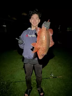
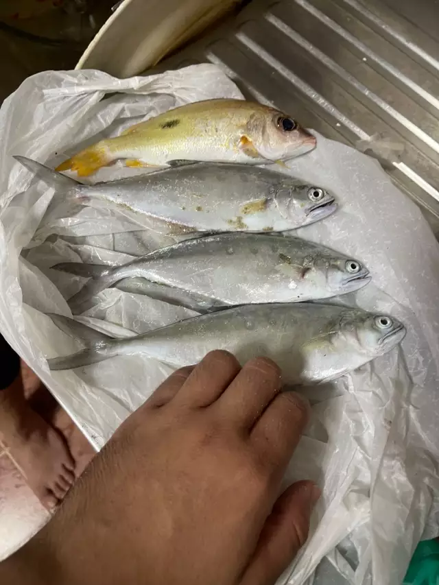
uploaded by: Mr.Chow
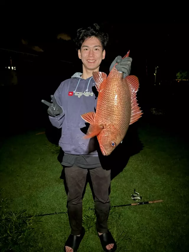
uploaded by: Mr.Chow
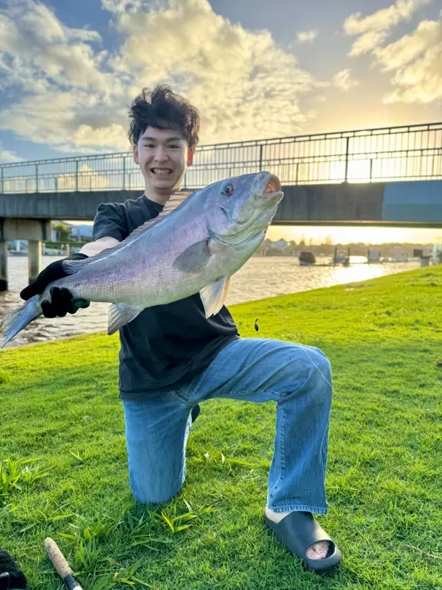
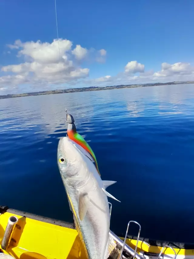
uploaded by: Chadderikk
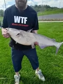
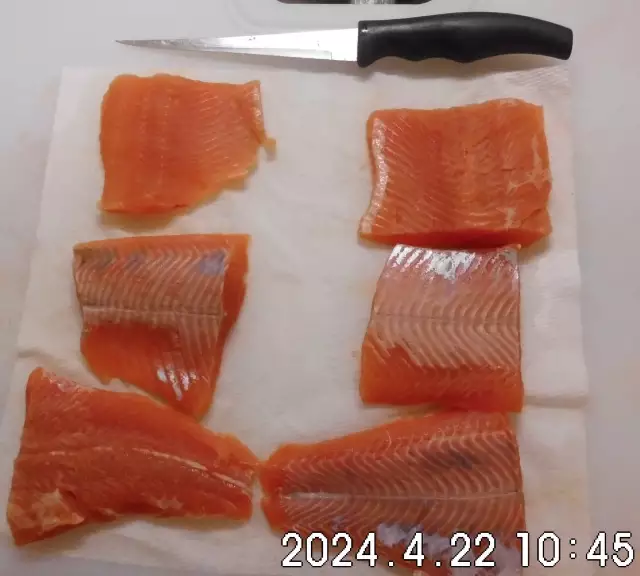
uploaded by: Mike Brooks (Savage)
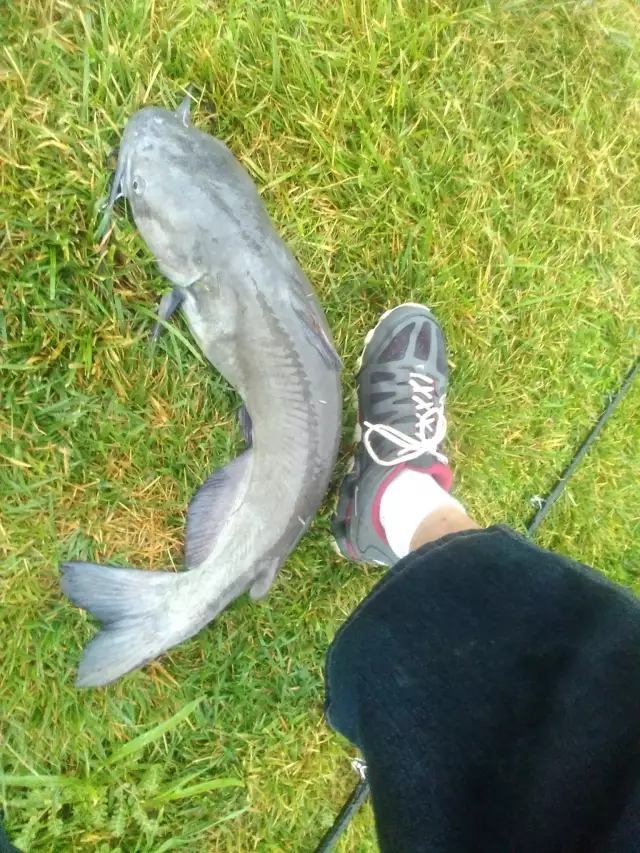
uploaded by: Mike Brooks (Savage)
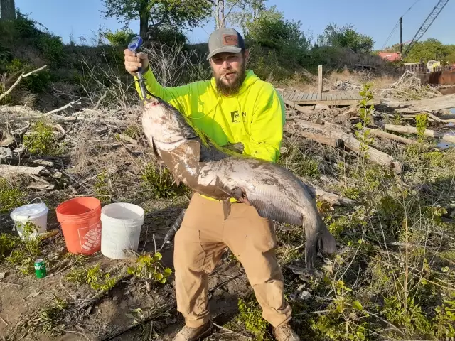
uploaded by: Terry Foster
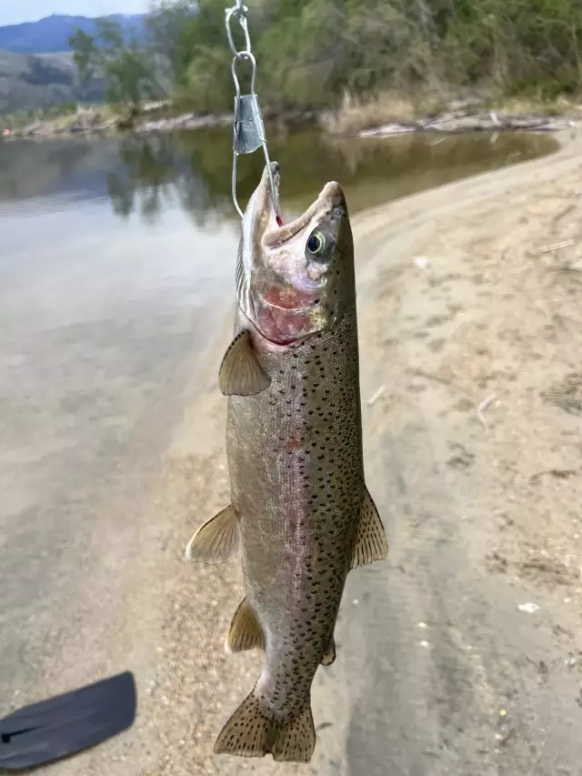
uploaded by: Doug Parr
uploaded by: Ahmed Elbasha
uploaded by: Hoza
uploaded by: PT Edward fisher
Secaucus,Sehkaukas,Sikokus,sykwks, nywjrsy,Сикокус,Сэкаукас,سیکوکس، نیوجرسی
Best Fishing Spots in the greater Secaucus area
Beaches and Bays are ideal places for land-based fishing. If the beach is shallow and the water is clear then twilight times are usually the best times, especially when they coincide with a major or minor fishing time. Often the points on either side of a beach are the best spots. Or if the beach is large then look for irregularities in the breaking waves, indicating sandbanks and holes. We found 7 beaches and bays in this area.
Hazard Beach - 10km , Newark Bay Bridge - 12km , Wallabout Bay - 12km , Wallabout Bay (historical) - 12km , Bloomer Beach - 13km , Upper Bay - 14km , Bowery Bay - 14km
Harbours and Marinas can often times be productive fishing spots for land based fishing as their sheltered environment attracts a wide variety of bait fish. Similar to river mouths, harbour entrances are also great places to fish as lots of fish will move in and out with the rising and falling tides. There are 11 main harbours in this area.
Seventyninth Street Boat Basin - 6km, North Cove Yacht Harbor - 10km, Eleventh Street Basin - 10km, Dutch Kills - 11km, Whale Creek - 11km, Navy Yard Basin - 12km, Englewood Boat Basin - 13km, Port Newark - 13km, Atlantic Basin - 13km, East Branch - 14km, English Kills - 14km
We found a total of 100 potential fishing spots nearby Secaucus. Below you can find them organized on a map. Points, Headlands, Reefs, Islands, Channels, etc can all be productive fishing spots. As these are user submitted spots, there might be some errors in the exact location. You also need to cross check local fishing regulations. Some of the spots might be in or around marine reserves or other locations that cannot be fished. If you click on a location marker it will bring up some details and a quick link to google search, satellite maps and fishing times. Tip: Click/Tap on a new area to load more fishing spots.
Berrys Creek Canal - 2km , Jersey City Aqueduct - 4km , Days Point - 5km , Weehawken Cove - 5km , Castle Point - 6km , Willow Lake - 6km , Seventyninth Street Boat Basin - 6km , The Lake - 7km , Harsimus Cove - 8km , Kingsland Lake - 8km , The Pond - 8km , The Pool - 8km , Turtle Pond - 8km , Manhattan - 8km , Kearny Point - 9km , Point No Point - 9km , Belmont Island - 9km , Harlem Meer - 9km , Lincoln Highway Bridge - 9km , Dahnerts Lake - 10km , Droyers Point - 10km , Hazard Beach - 10km , Gibbs Point - 10km , Hallets Cove - 10km , Hallets Point - 10km , Hunters Point - 10km , Mill Rock - 10km , North Cove Yacht Harbor - 10km , Ed Koch Queensboro Bridge - 10km , Roosevelt Island - 10km , South Cove - 10km , Third Avenue Bridge - 10km , Trinity Place Bridge - 10km , Roosevelt Island Bridge - 10km , Eleventh Street Basin - 10km , Madison Avenue Bridge - 10km , Park Avenue Bridge - 10km , Ward's Island Bridge - 10km , Coles Bridge (historical) - 10km , Collect Pond (historical) - 10km , Bridge Street Bridge - 11km , Dundee Dam - 11km , Ellis Island - 11km , Jackson Street Bridge - 11km , The Battery - 11km , Brooklyn Bridge - 11km , Bushwick Inlet - 11km , Dutch Kills - 11km , Fort Washington Point - 11km , George Washington Bridge - 11km , East River Arch Bridge of the New York Connecting Railroad - 11km , Manhattan Bridge - 11km , Negro Point - 11km , Pot Cove - 11km , Pulaski Bascule Bridge - 11km , Randalls Island - 11km , Robert F Kennedy Memorial Bridge - 11km , Wards Island - 11km , Whale Creek - 11km , Clarks Pond - 11km , Macomb's Dam Bridge - 11km , Little Hell Gate Bridge (historical) - 11km , Willis Avenue Bridge - 11km , 145th Street Bridge - 11km , Caven Point - 12km , Newark Bay Bridge - 12km , Corlears Hook - 12km , Governors Island - 12km , High Bridge - 12km , Lawrence Point - 12km , Liberty Island - 12km , Navy Yard Basin - 12km , Stony Point - 12km , Wallabout Bay - 12km , Wallabout Channel - 12km , Williamsburg Bridge - 12km , Alexander Hamilton Bridge - 12km , Wallabout Bay (historical) - 12km , Washington Bridge - 12km , Englewood Boat Basin - 13km , Port Newark - 13km , Atlantic Basin - 13km , Kosciusko Bridge - 13km , North Brother Island - 13km , Red Hook - 13km , South Brother Island - 13km , Tubby Hook - 13km , Penny Bridge (historical) - 13km , Bloomer Beach - 13km , Rock Breakwater - 14km , Upper Bay - 14km , Barretto Point - 14km , Bowery Bay - 14km , East Branch - 14km , English Kills - 14km , Henry Hudson Bridge - 14km , Maspeth Creek - 14km , Metropolitan Avenue Bascule Bridge - 14km , Montrose Avenue Swing Bridge - 14km , Spuyten Duyvil Creek - 14km
Comments